
Naro-Fominsk
Some places are interesting by themselves, others by its neighborhoods, and third worth a visit only on the way. We think that Naro-Fominsk belongs to the third type. I have doubts that you should spend the whole day in this town, but if you drive by Ukraine highway and need to stop that Naro-Fominsk seems as suitable variant.
In this issue: Zosima’s Hermitage and Circles, the park, the center, a new blocks, a dam with a factory, memorial near Church of Nicholas, the recreation center of , video, maps, coordinates and information.
Zosima’s Hermitage and Circles
So, let imagine that we situated in Naro-Fominsk on the way. In this case I doubt whether we can see Zosima’s Hermitage. Because you will need to go a long way round to get here. Zosima’s Hermitage is a women monastery founded in 1826 by monk Zosima. In 1908 there lived 30 nuns and almost 250 lay sisters.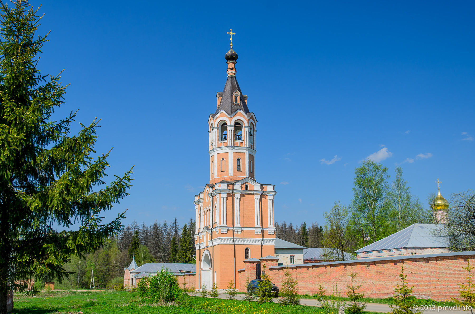
Although Zosima origins was from antic Smolensk nobles, he spent many years of his service in Siberia, where he liked Arctic foxes. He started a Arctic fox farm inside of monastery. The farm earns more than 600 rubles per year (about 500.000 of modern rubles).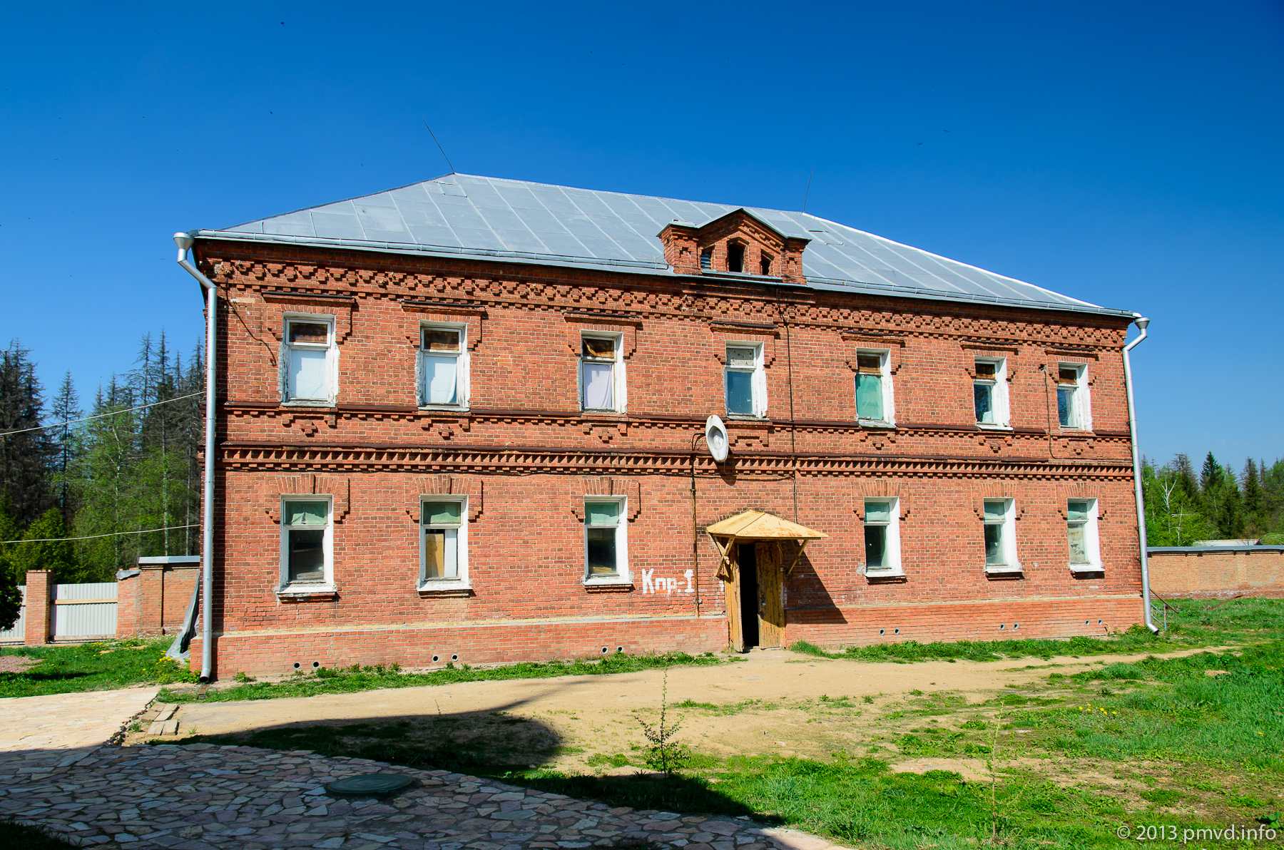
In Soviet time the monastery continued to act a bit as an artel. But it couldn’t lie a continuous time to Soviet authorities. Mother superior was arrested, and monastery turn out into club at first, and after war there was a pioneer camp.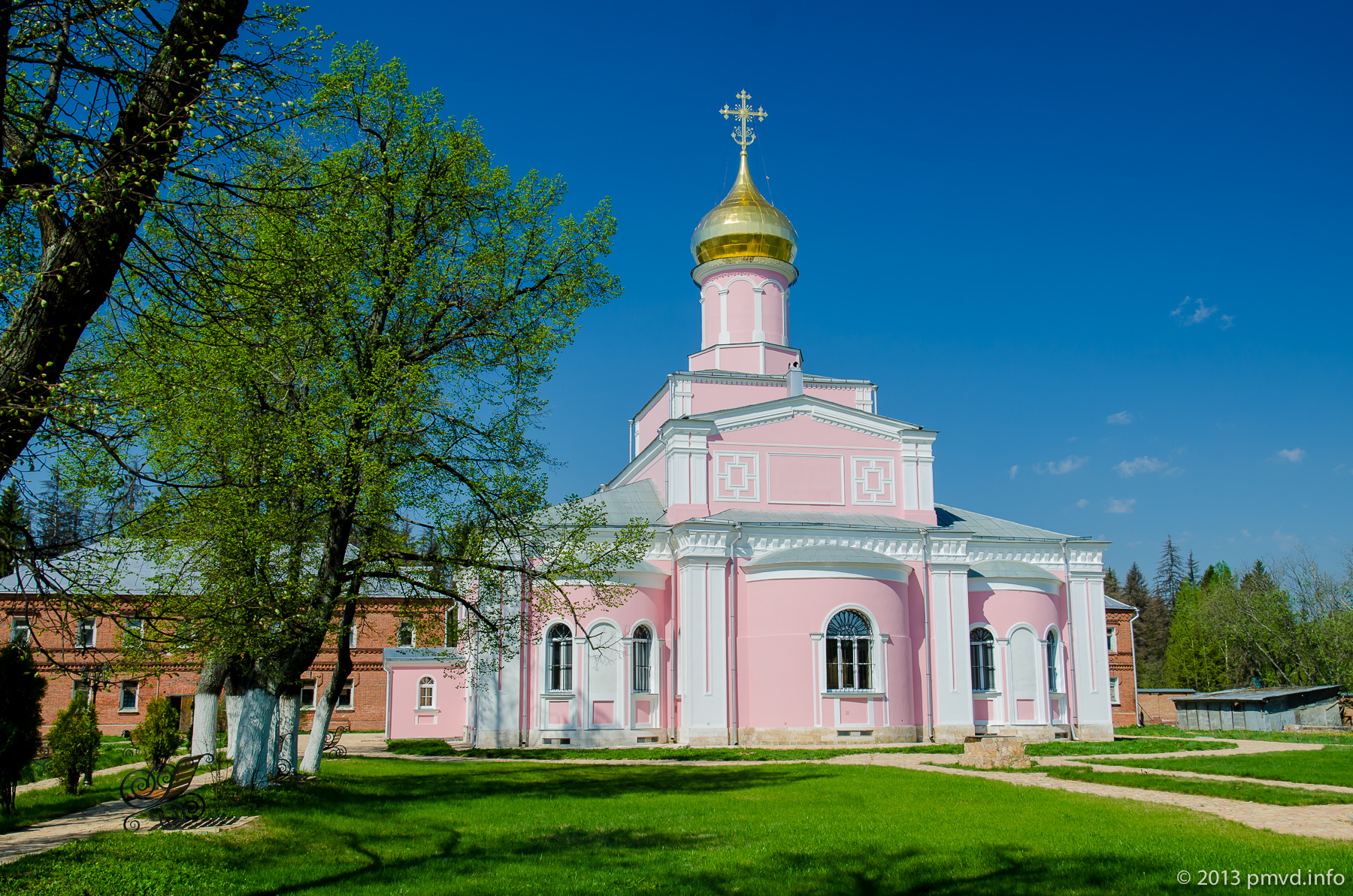
In 2000 the monastery was returned to Russian Orthodox Church. Reconstruction works are continuing. In 2013 the territory of monastery looks unfinished. We hope that during next years nuns will able to finish all works.
Circles
Close to Zosima’s Hermitage there is one place that looks very interesting on satellite map. There is a meadow in the center and rays-glades go out from it. There is a small village Krugi (Circles) on the meadow. We don’t know who need to cut these rays. But it known, that this was on the map issued in 1860.
The place is looking very usual.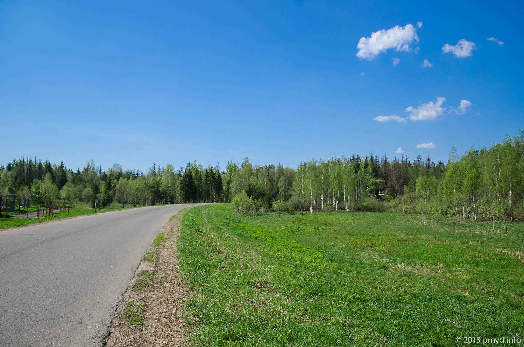
A children playground in Yakovlevksoye village. On the way from Zosima’s Hermitage to Naro-Fominsk.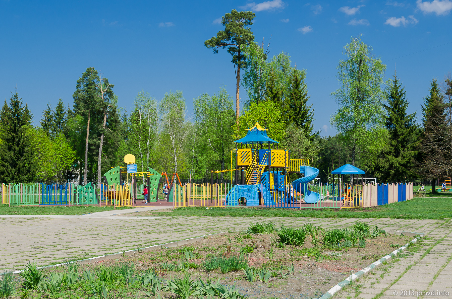
Park named after Vorovskiy
And finally you drive via sign “Naro-Fominsk”. You can stretch your legs in the Vorovskiy Park. Just near of the park a small shop where you can buy an ice-cream. A billboard turn to advantage cutting of big part of land from oblast to Moscow City.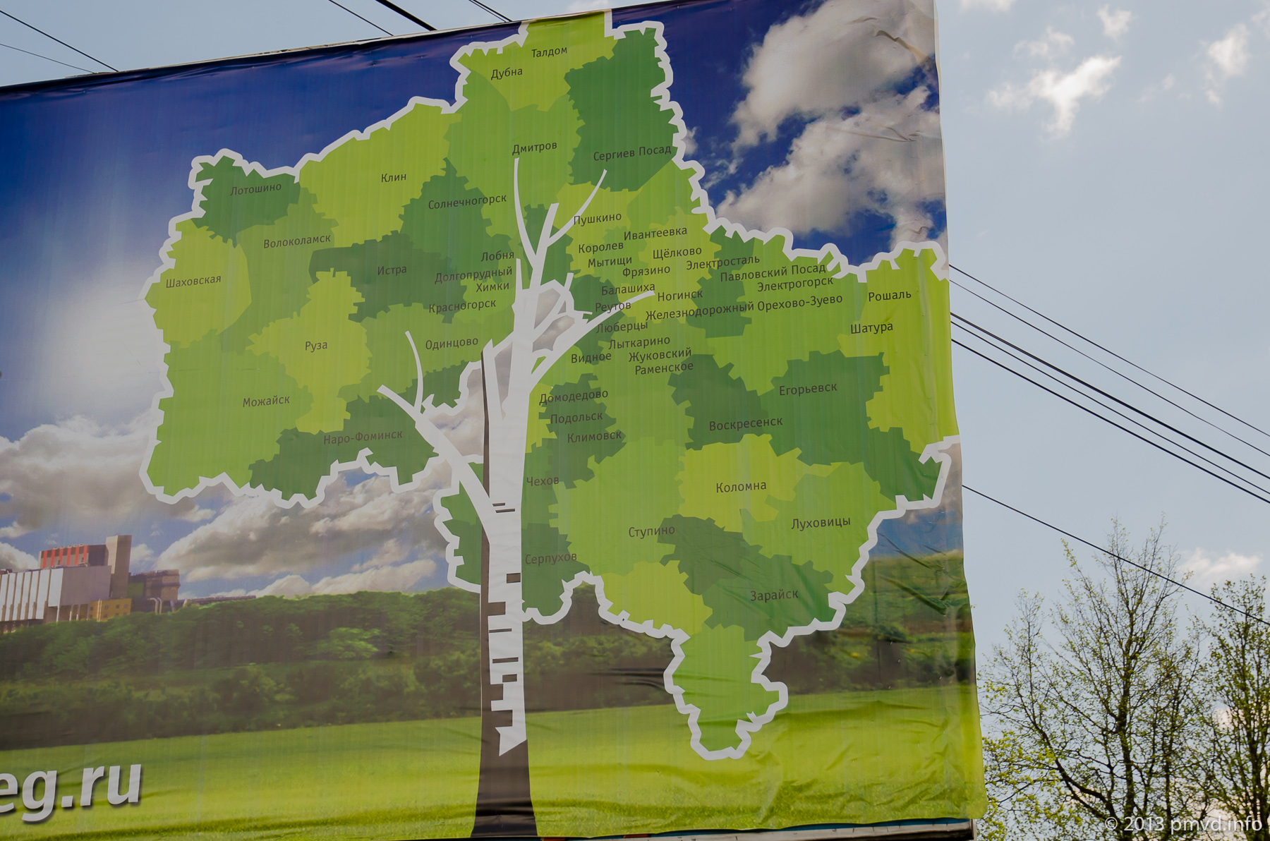
You must not go deep into the park.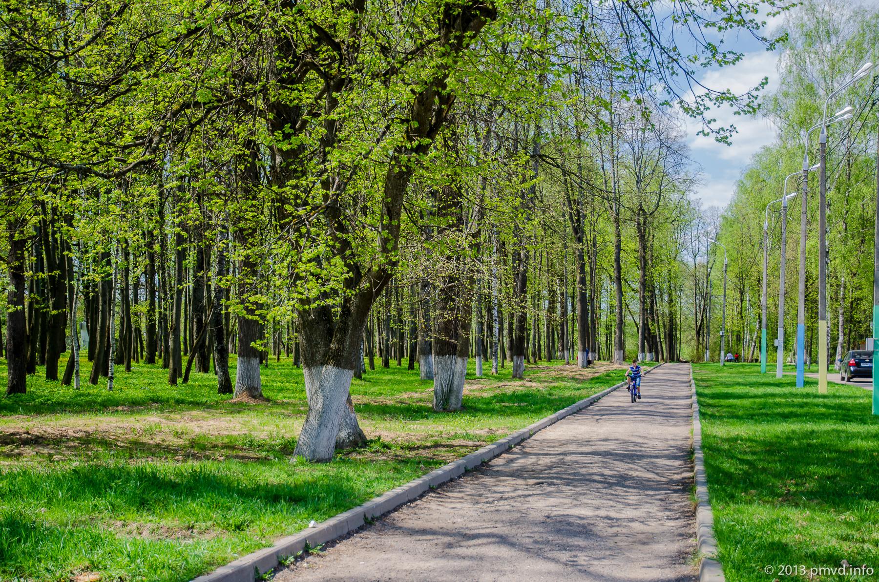
You can admire flowers and abandoned sculptures but don’t deep far. When we read by the park our report doesn’t exist yet and we went far. Crunch of syringes didn’t inspire optimism.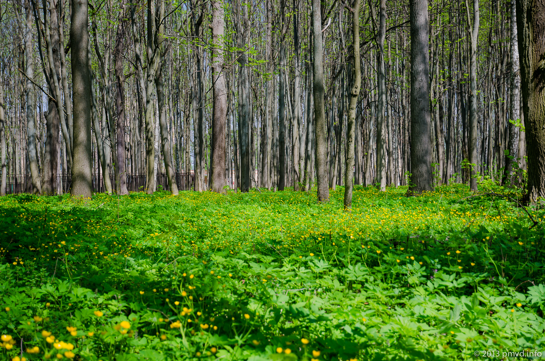
The center
A development of the central part of Naro-Fominsk isn’t remarkable.
Only a big heart amaze.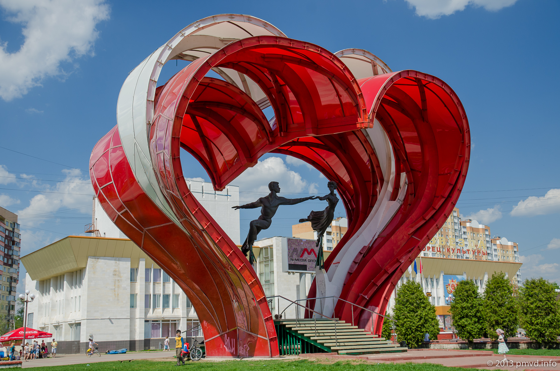
Also you can see a monument to Emelya (hero of Russian fairy tales).
A castle like children playground.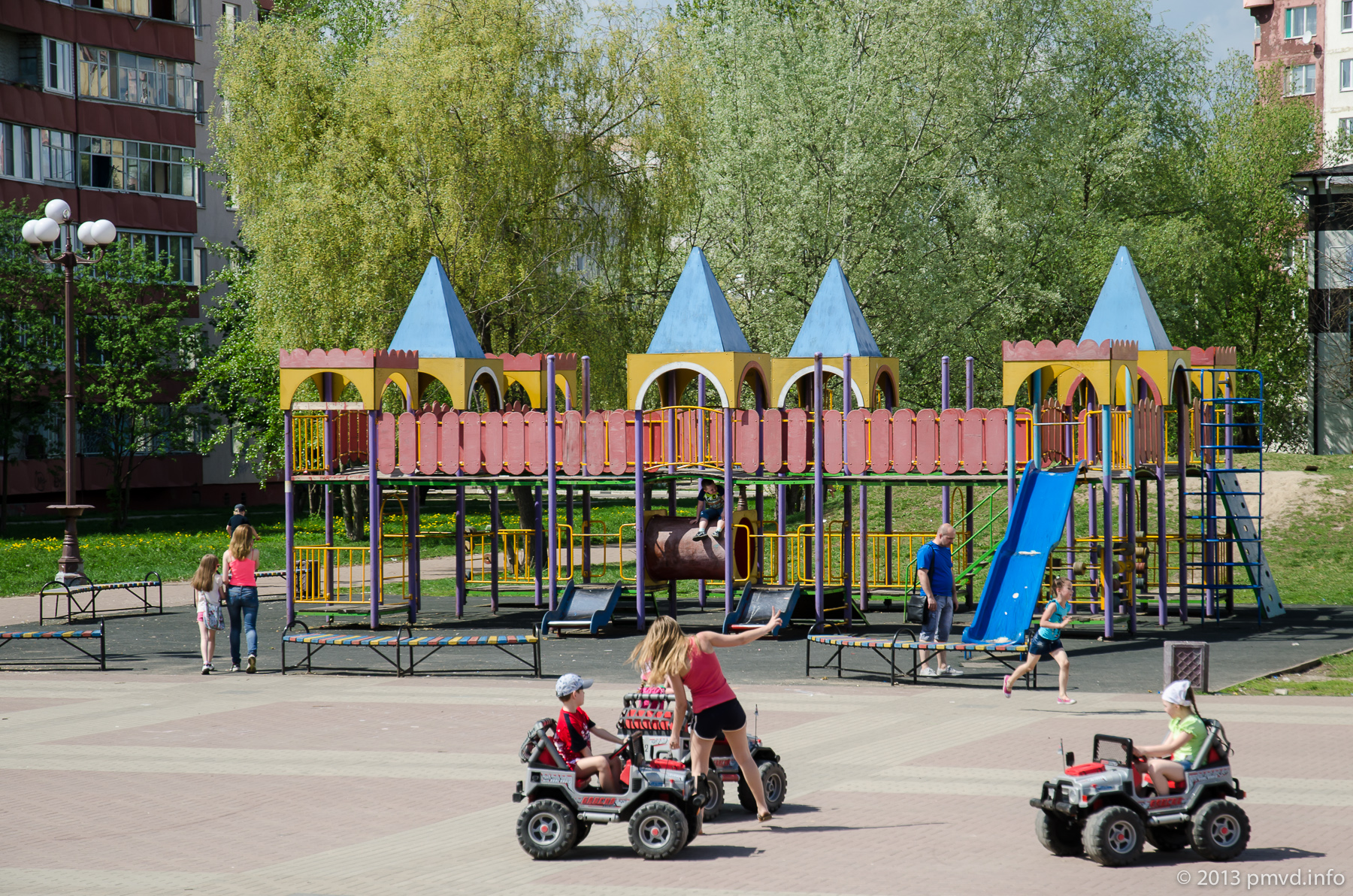
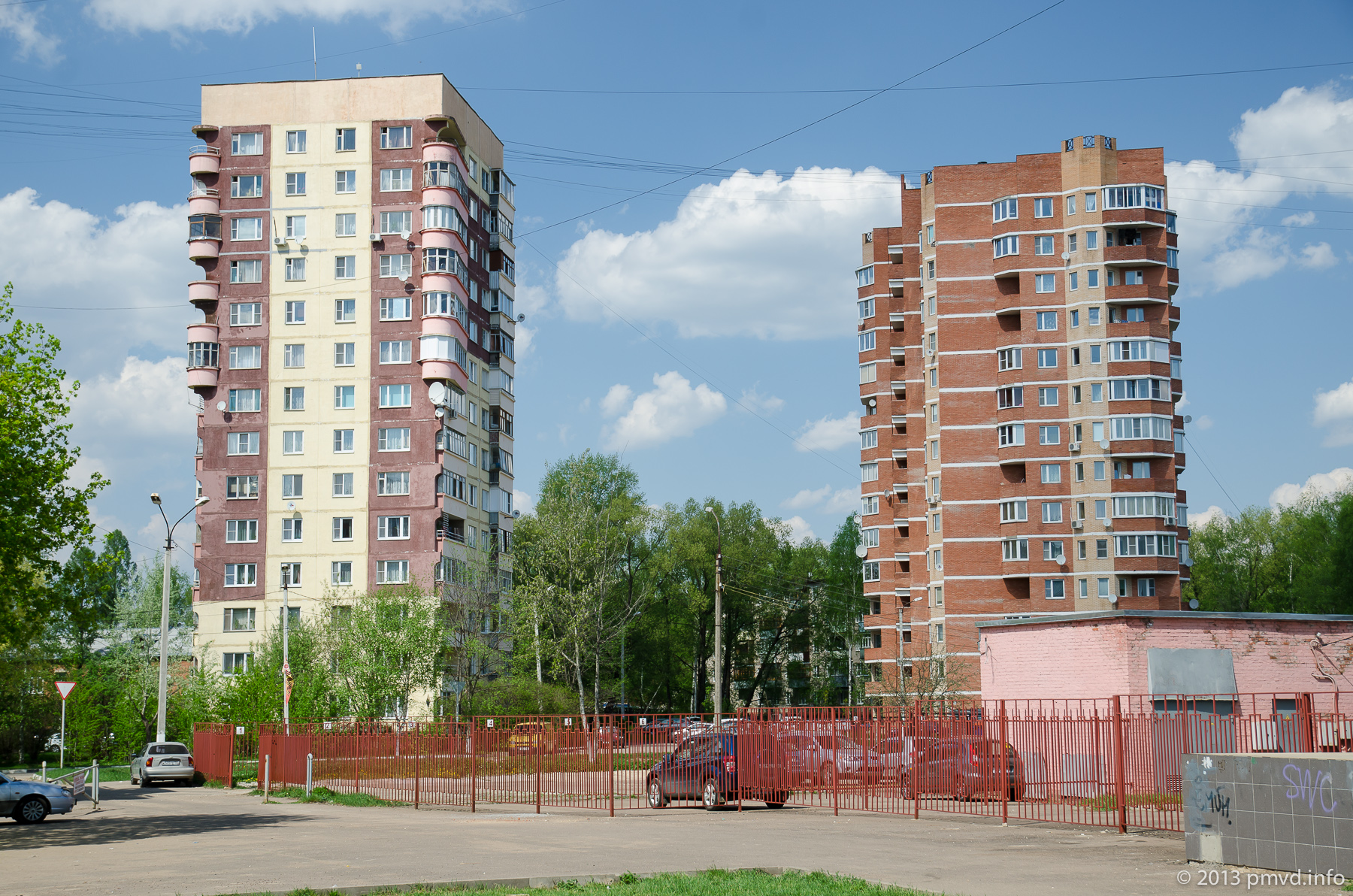
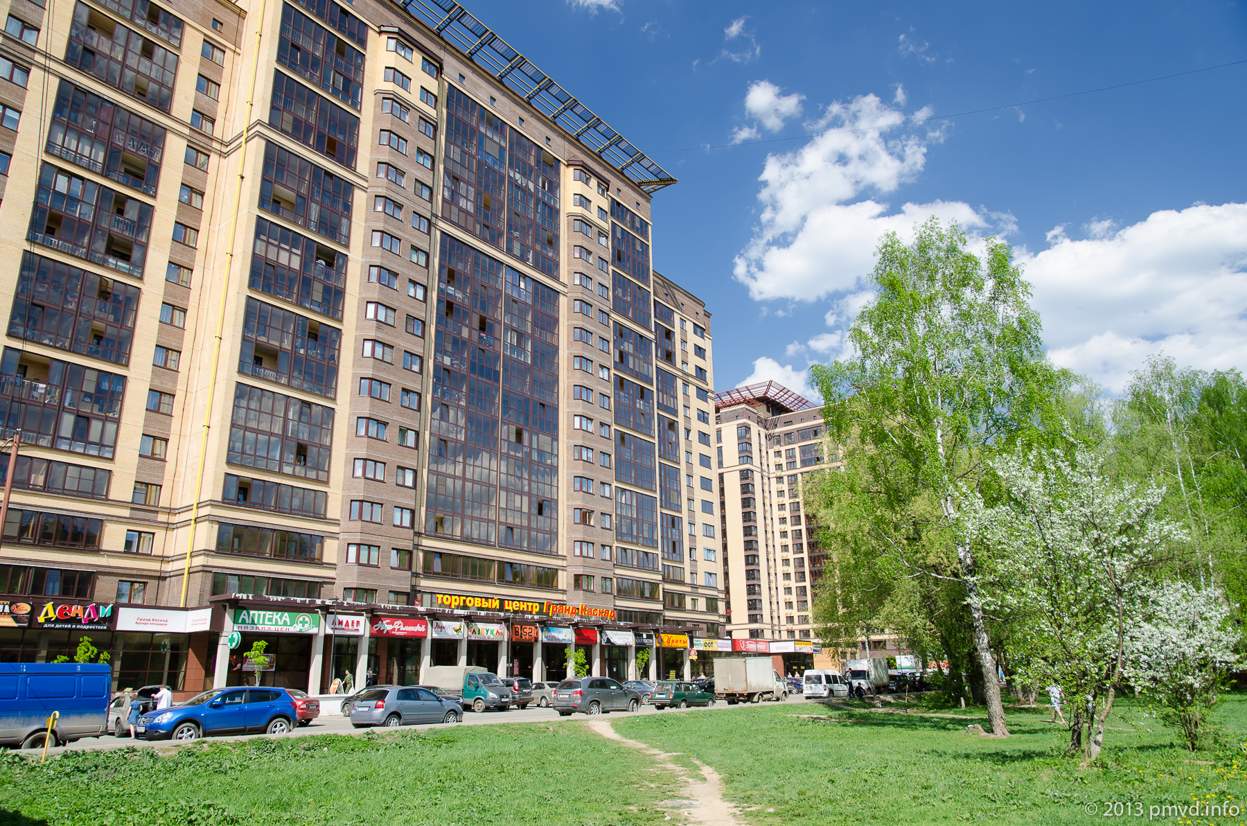
New buildings
As we can understand, in the town an infill development. As for this living house.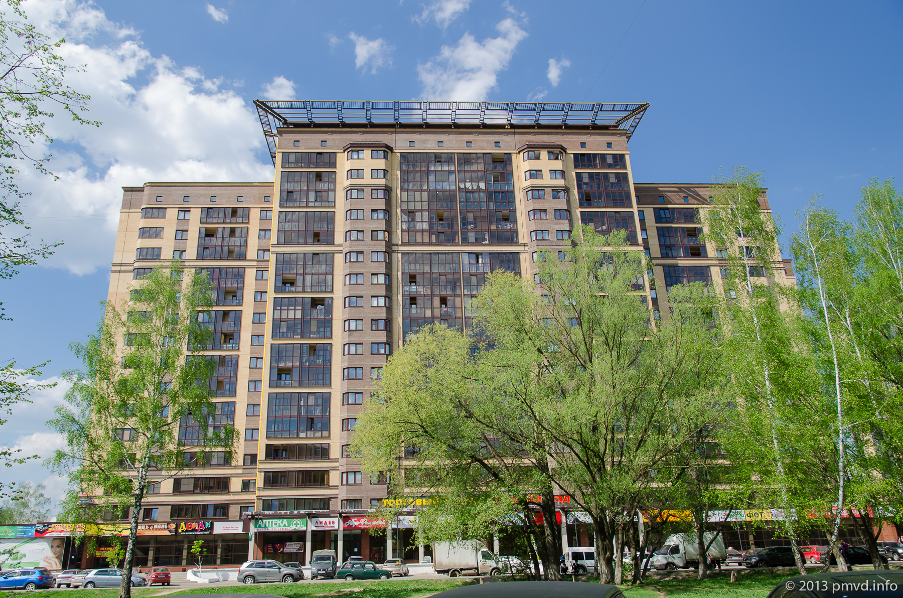
A dam and building of weaving-mill
If you decided don’t walk by the park you can drive a bridge over Nara river and park your car near McDonald’s. There we can either eat a hamburger either see on a dam. Once it was a bridge and people walked into the park by it.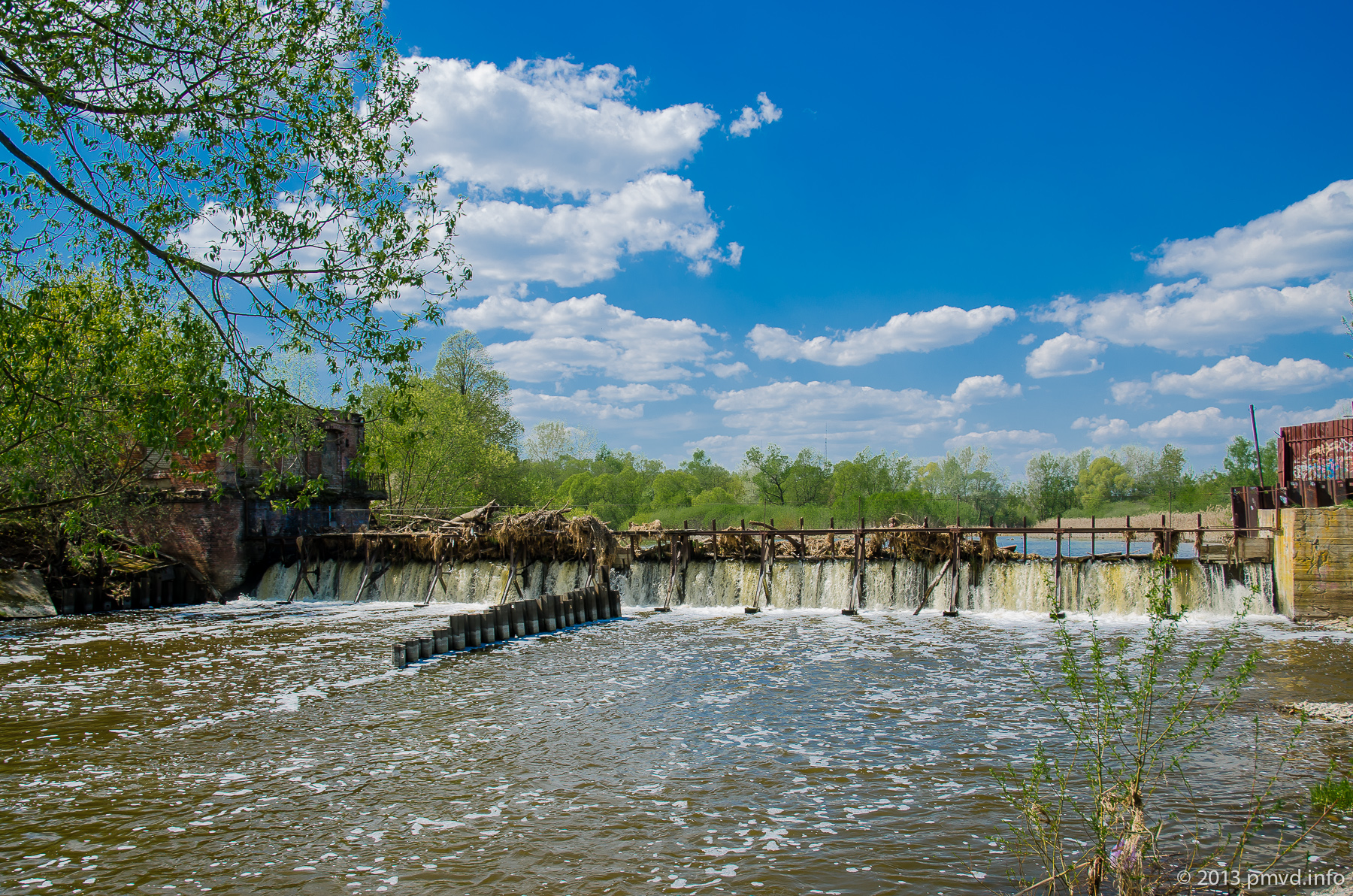
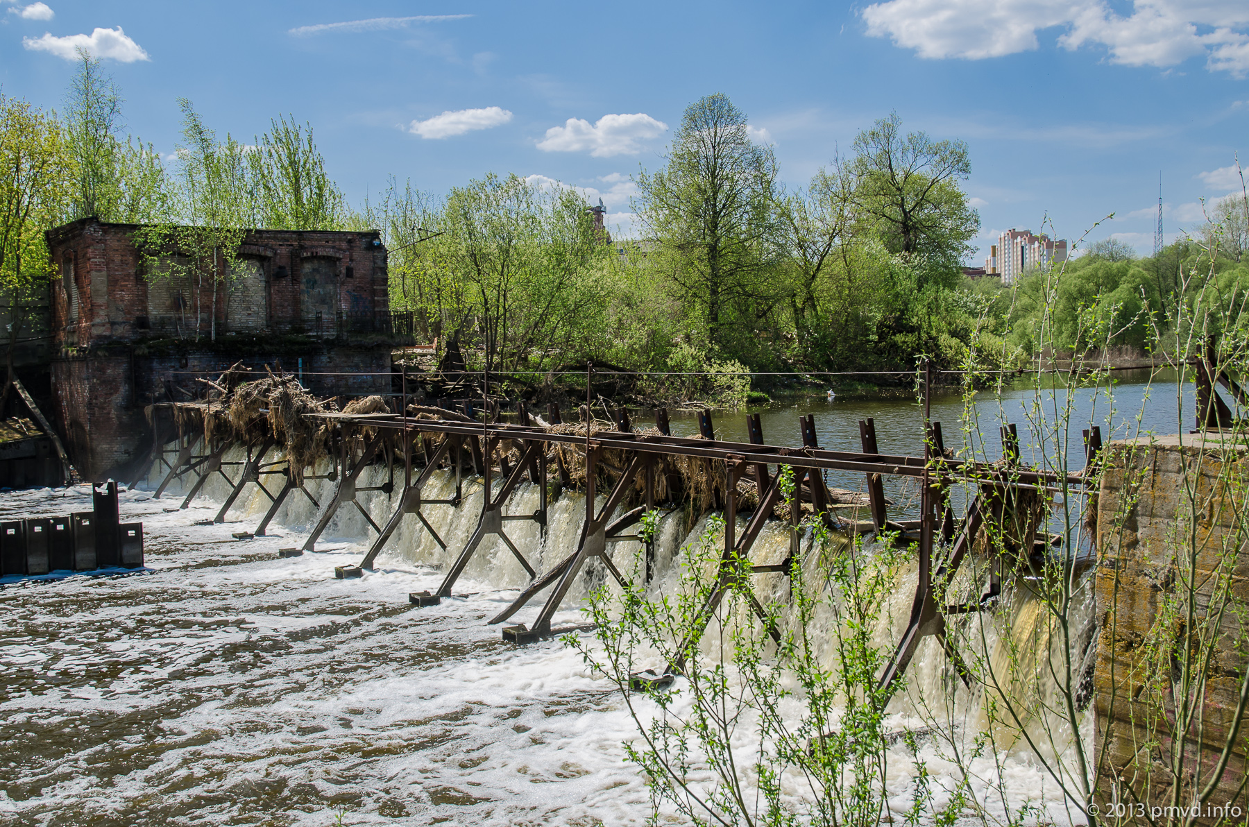
The dam was built to service a factory probably. A weaving factory was opened here in 1840. Famous Moscow merchants Yakunchikovs bought it in 1864. Due the factory the village turned into the town.
The factory was nationalized after October Revolution. In Soviet Time fabric from polyester is produced here. In 2005 the factory bankrupt and supply of electricity was stopped for it. Now there a cafe and car parking.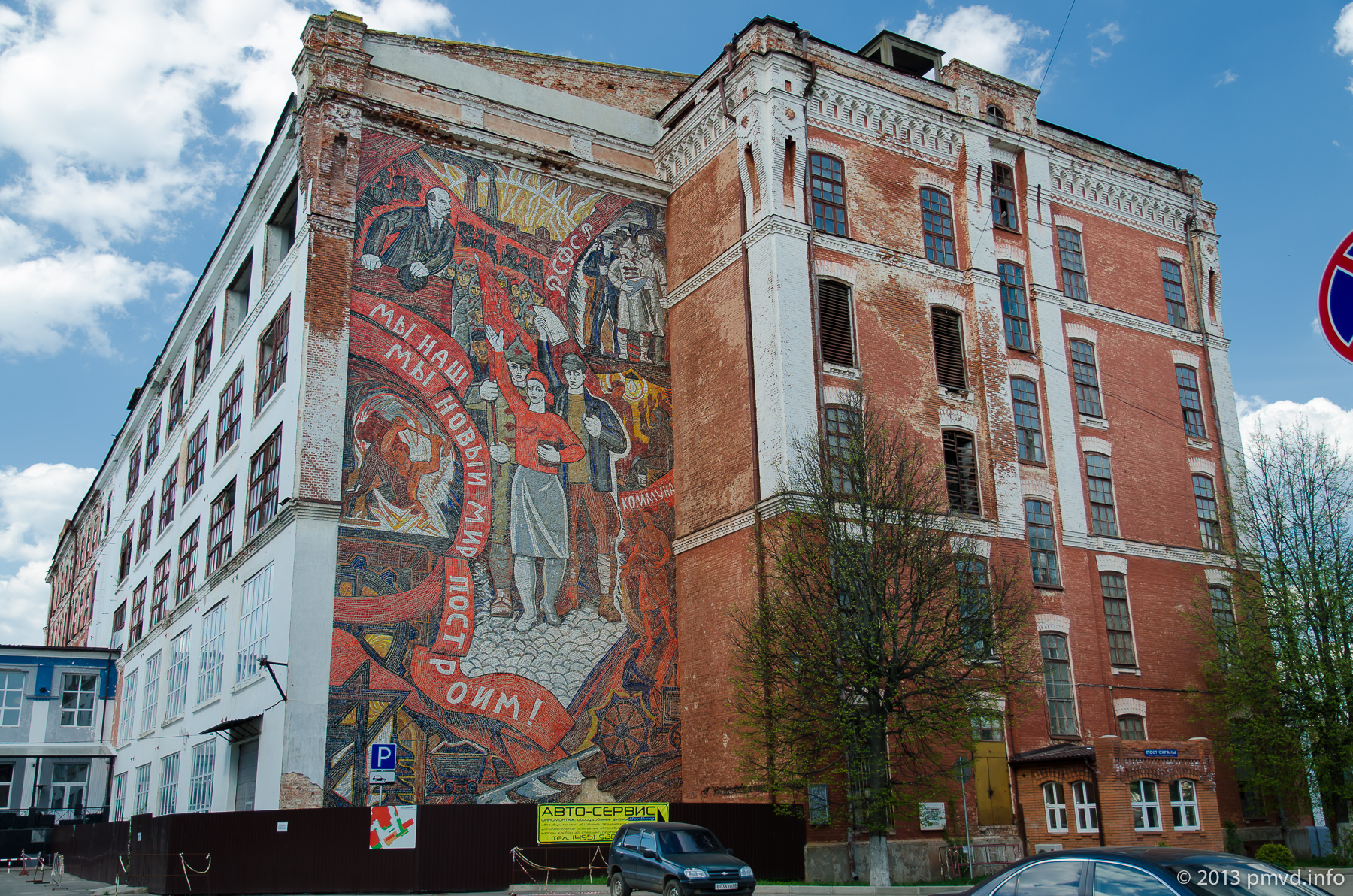
Around the church
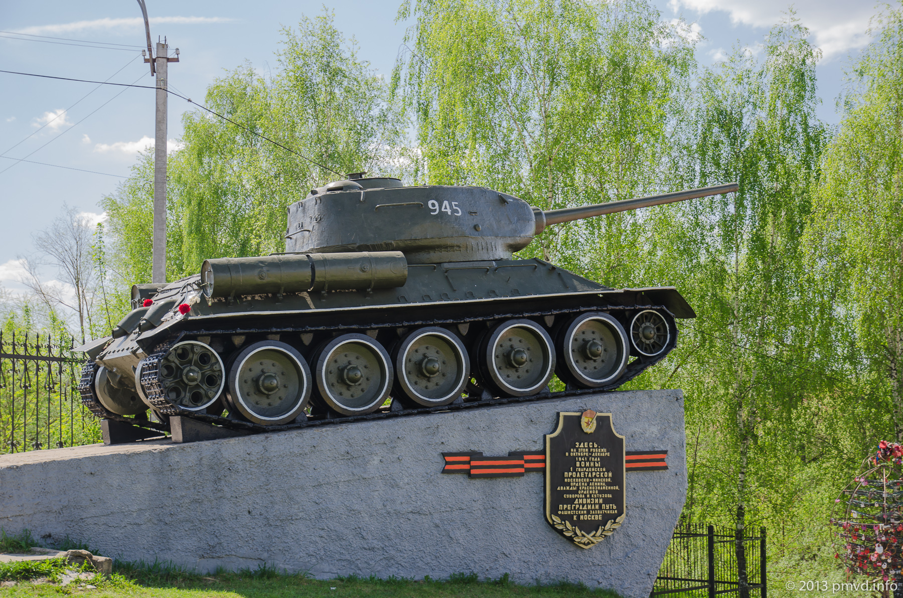
During the WWII river Nara became a natural boundary to fascist army on road to Moscow. The town pass twice from hands to hands.
There is an eternal flame near the grave of unknown soldier. It is usual for Russian towns. But it’s very unusual that the eternal flame burns inside of the chapel. It because when St. Nicholas was returned to believers they decided that an eternal fire contradicts to Orthodox values and want to remove it from this place. As result compromise solution was achieved – the fire was concluded into the chapel in honor of icon of the Virgin Mary “Inextinguishable lamp”.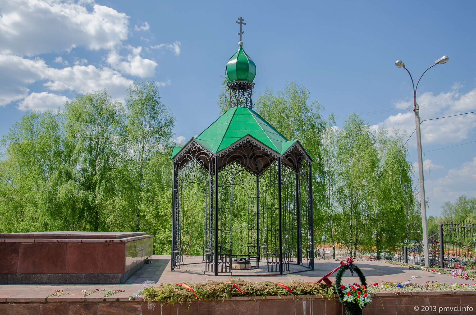
Let’s look on the temple. It was built in middle of 19 century and rather unusual by its architecture. We can see mix of classicism and Russian revival style.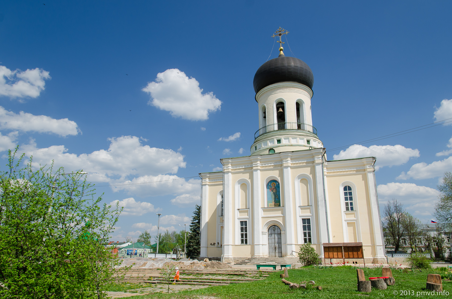
The cherries are flowering.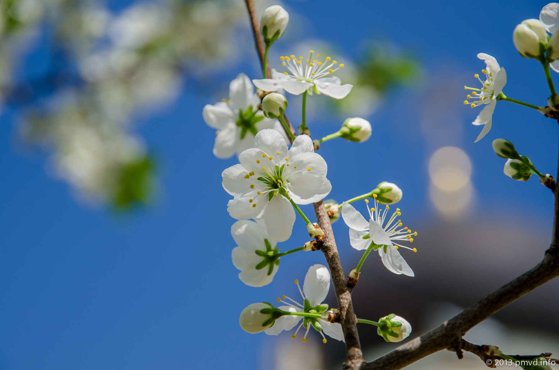
The iron tree overbear by locks.
Let return to the car by another bridge across Nara. Nara is a left feeder of Oka river. The length of Nara is 158 km.
The bridge is glamorous.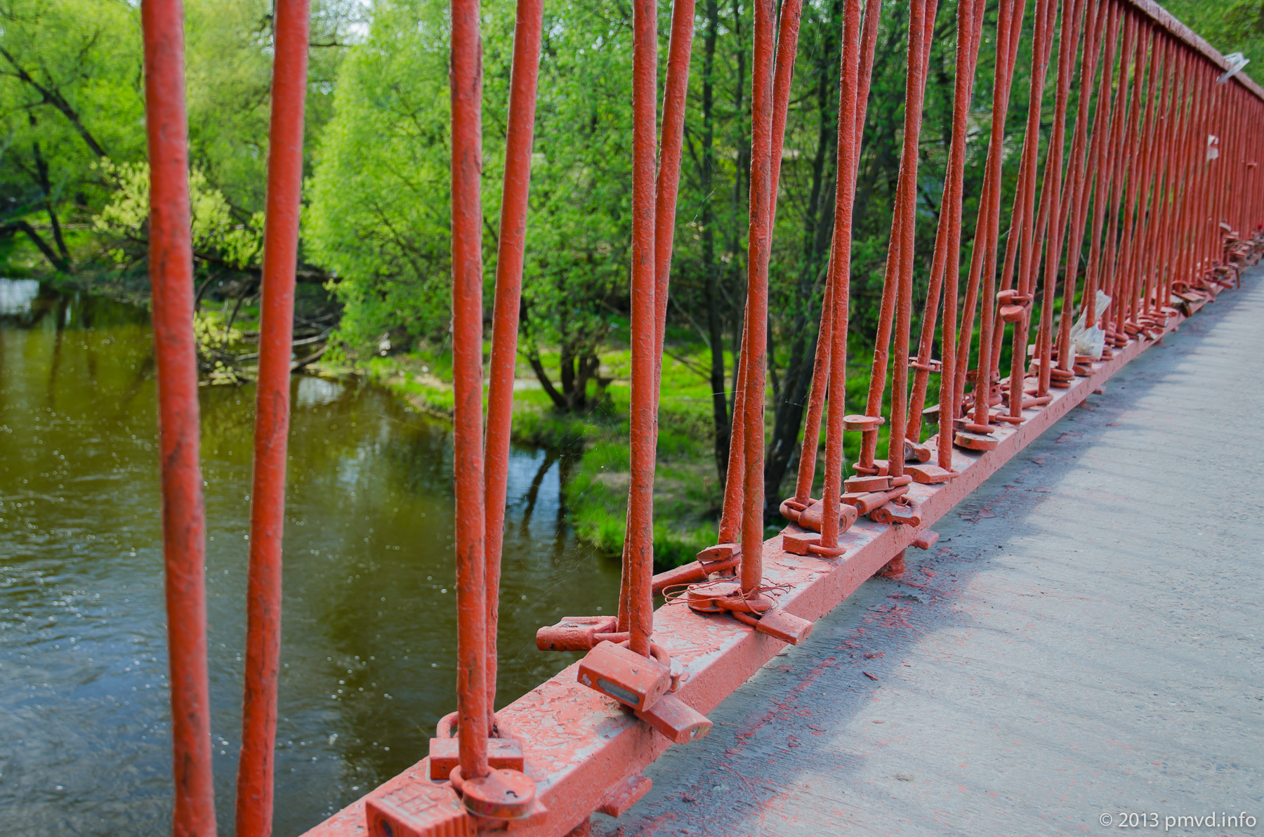
Recreation area “Peshekhonova”
Also there is a possible variant that you are driving by Ukraine Highway to barbecue and stuck in terrible traffic jam. Is picnic under thread? Especially for this case there is a recreation area in Naro-Fominsk. It called “Peshekhonova”.
However, you can want to get here intentionally. The place is well equipped. There is braziers, boats rent and beach.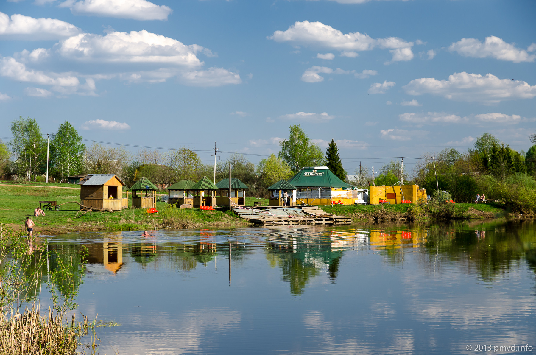
The recreation area is on Nara’s bank.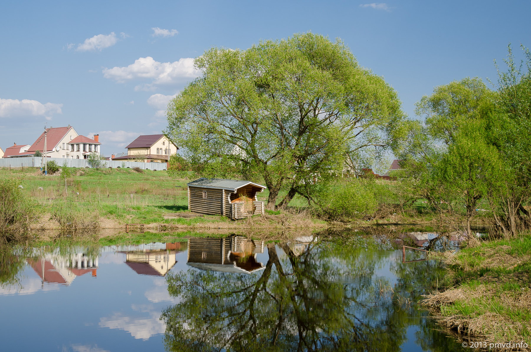
In conclusion we want say that town hasn’t bright sights, but has the rich history and some interesting places.
Video from the trip
The map and the useful information
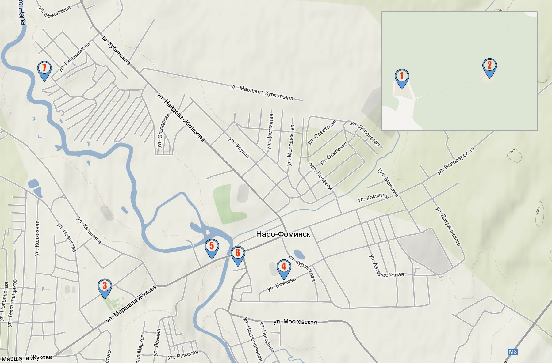
- Zosima’s Heritage (55°24’29″N – 36°54’42″E)
- Circles (55°24’38″N – 36°56’43″E)
- The Center (55°23’2″N – 36°43’21″E)
- The new buildings (55°23’7″N – 36°44’39″E)
- The Factory, the dam (55°23’22″N – 36°44’13″E)
- The temple of Nicholas (55°23’14″N – 36°44’22″E)
- The recreation center of “Peshekhonova” (55°24’10″N – 36°42’35″E)
How long: by pass
Children: many playgrounds, beach on the river.
Budget: all places are free.
How to get here: 53 km from MKAD by Ukraine highway.